Flooding Sheffield on a Table
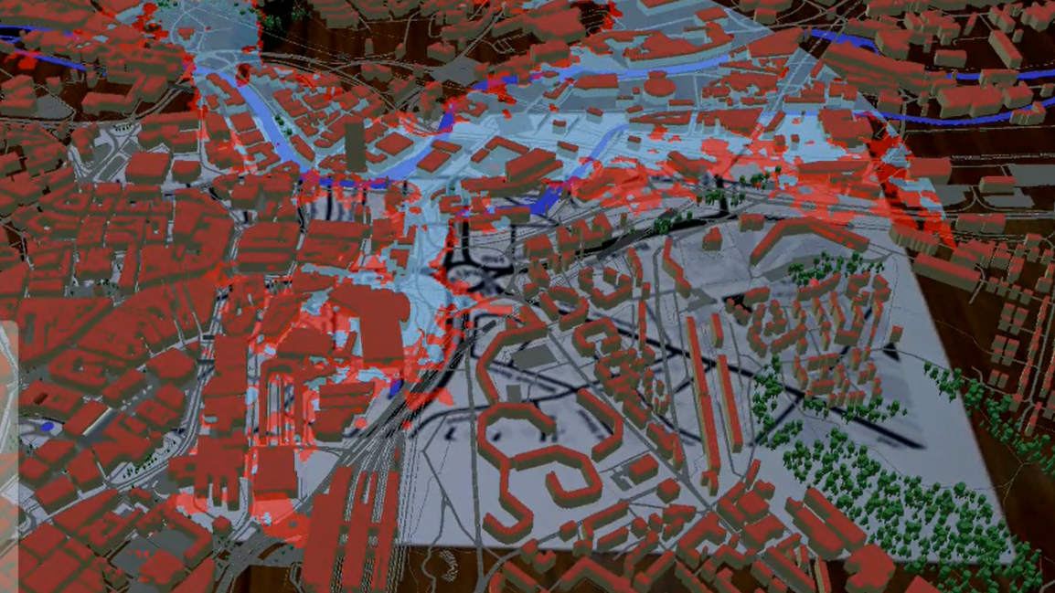
As part of an exercise in AR development and Unity practice, I want to put together projects with both the City Mesh data extracted from Open Stree Map, and the terrain data extracted from terrain.party, to create a human-centric flood plain simulator.
Building on the previous shader tutorial, I deciced to create a stand alone AR app, adding a simple UI, and cloud system. With the ability to toggle transport and buildings, this made for a more interesting Demo.